
To build better rail travel tools, we started by extracting detailed track and station data from OpenStreetMap for Australia and New Zealand. After cleaning and refining the dataset, we developed our own custom train router. This allows us to calculate journeys based on real rail infrastructure-not just straight lines between cities.
The result? Visually accurate and functional train routes displayed directly on the map, giving users a clearer and more realistic travel experience.
We can create the same solution for your region, tailored to the rail network you operate in. Whether you’re mapping national lines or regional tracks, we’ll ensure your routes follow the real rails.
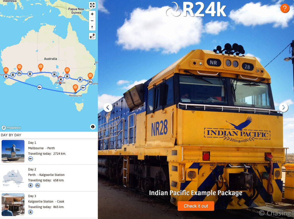
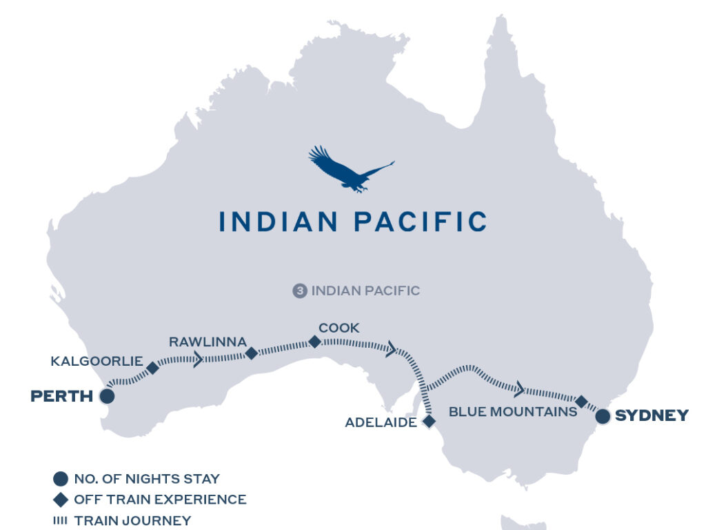
As an example, here’s a sample quotation we built for the Indian Pacific, one of Australia’s most legendary train journeys. Running from Sydney on the east coast to Perth in the west, the Indian Pacific crosses the vast Nullarbor Plain and showcases the sheer scale and beauty of the Australian landscape.
View our Indian Pacific quotation demo
If you’re interested in building something similar, feel free to contact us, we’d love to help bring your train routes to life.